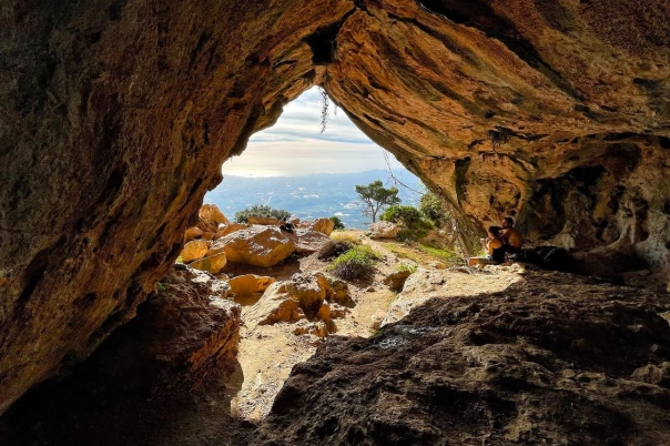
The Forat de Bèrnia walk is a mountain excursion from Moraira, combining rocky trails, a natural tunnel and Mediterranean views. Starting at Cases de Bèrnia, the circular route passes through the mountain before continuing towards the historic Fort de Bèrnia. This guide explains the circuit’s distance, ascent and walking time, how to find the starting point and what to expect from the low tunnel passage. Plan it as a dedicated hiking outing, with suitable footwear and time to spare.
Please complete the contact form below for more information.
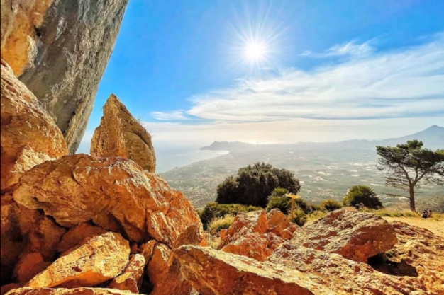
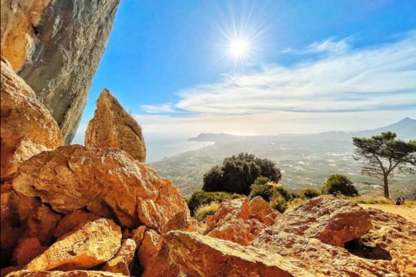
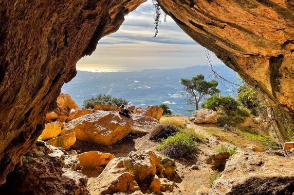
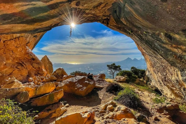
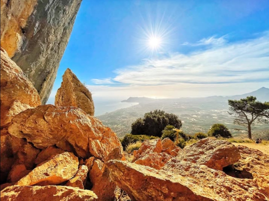
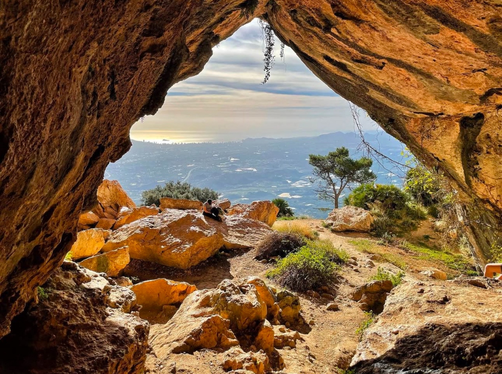
The appeal of Forat de Bèrnia lies in the change of scenery as you pass through the rock. The natural tunnel opens onto views towards Altea, Serra Gelada and the Mediterranean, bringing the coastline back into sight after the approach through the mountains.
Treat this as a separate day out from Moraira. Allow time for the drive, preparation at the trailhead and a comfortable return before dark.
For the Cases de Bèrnia circular itinerary, Benissa Tourism publishes:
Allow longer for photographs, food breaks and careful progress over rocky ground. These figures describe the circuit promoted by Benissa Tourism; other Bèrnia routes have different starting points and measurements.
Use Cases de Bèrnia, also written Casas de Bèrnia, as your destination, then check the starting point against the official route map.
The CV-749 connects Xaló and Benissa via Bèrnia, with a local access road serving Cases de Bèrnia. From Moraira or Altea, plan your drive to this specific trailhead rather than to a general “Sierra de Bèrnia” location.
Park only where permitted around the starting area, keeping access to homes, businesses and tracks clear. Check local signs rather than assuming every roadside space is available.
The Benissa Tourism route starts at Cases de Bèrnia and heads towards Font de Bèrnia before approaching the Forat. After crossing the tunnel, the circuit continues around the mountain, taking in the fort before returning to the starting area.
Keep your chosen route map available at junctions. Paths connecting to Altea la Vella and other locations can lead onto substantially longer outings.
The Forat is a low natural passage where you need to crouch in some sections before it widens towards the southern opening.
Move slowly, watch your head and allow space between walkers. Consider whether you are comfortable with a confined passage before committing to the full circuit.
A return walk from Cases de Bèrnia towards the Forat is a different itinerary from the full loop. Retracing your approach can shorten the outing, but it still involves mountain terrain.
The 8.52km distance and 453m ascent apply to the circular route, not a tunnel-only visit. Check a map for your chosen turnaround point and remember that crossing the tunnel and returning means negotiating the low passage twice.
Expect rocky paths, climbing and uneven footing. The moderate rating should be considered alongside your experience, fitness and the weather.
Wear hiking footwear with good grip and carry water, food, sun protection and an extra layer. Avoid setting out in extreme heat, strong winds, thunderstorms or poor visibility. This route is unsuitable for pushchairs.
Use the Benissa Tourism Bèrnia route guide and its linked Benissa Turisme map and GPS track.
The FEMECV trail record describes a longer itinerary from Altea la Vella and notes that current signposting and maintenance cannot be assumed to be optimal. Check local conditions and carry a map rather than relying entirely on trail markings.
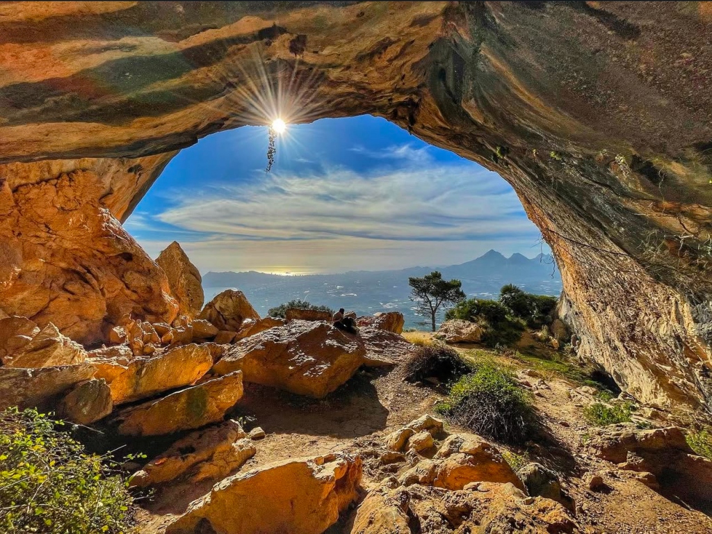
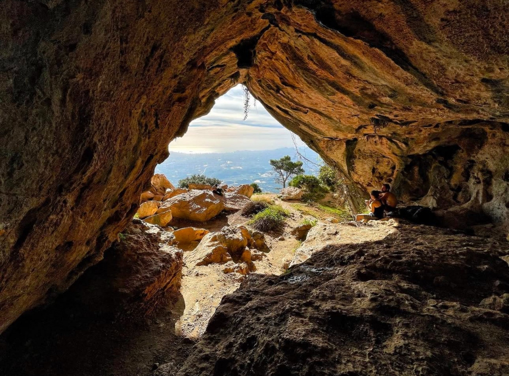
Images: @mukutan.
Default Sponsors


Featured Businesses
Minina & Kanina - Vet in Javea Port

Minina & Kanina is a Veterinary clinic located in...
Guide to XML Feed Building and Maintenance for Estate Agents in Spain
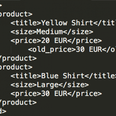
Find out more about what XML feeds are, how they...
Mayflower Flores y Plantas - Florist - Floristeria Javea
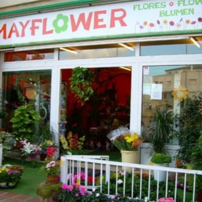
Mayflower is a Flower Shop in Javea, Costa Blanca,...
Global Cars Moraira - Used Cars for Sale Moraira

Global Cars Centre Moraira is a well established...
Moving to Spain? Requirements for Relocating to Spain from Sun Lawyers

If you are thinking about relocating to Spain from...
How to Apply for a Spanish Tourist Licence for your holiday rental - Information from Sun Lawyers

Are you looking to understand how to apply for a...


 Spanish
 Chinese (simplified)
 Dutch
Dutch French
 German
 Italian
 Norwegian
 Polish
 Romanian
 Russian